North East Monsoon picks up speed, more than half of India awaits winter

know the weather forecast,

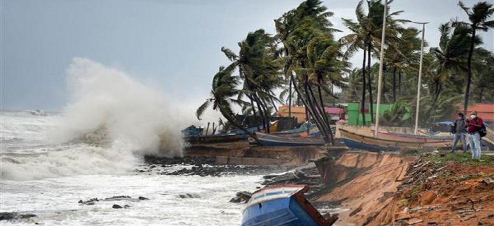
Due to a weak western disturbance, there is no snowfall in the mountains. Due to a lack of snowfall, cold winds are not blowing from the north and temperatures are not falling. North-east winds are becoming stronger in the Bay of Bengal, due to which now the north-east monsoon has become active in Tamil Nadu, South Karnataka and Kerala.

Source: Skymet Weather

Please visit the Gramophone app daily for weather-related forecast information. If you liked today’s information, then please share it with your friends.

Share

Chance of heavy rain in these states in the next 2 days

know the weather forecast,

Due to the cyclonic storm, rains continue in North-East India and South India. But the rainy season has stopped in North India. While cold has set in in many states, the weather is still hot in many states. The Meteorological Department has also issued the latest weather update saying that another new round of rain may start in the southern part of India.

Source: News State

Please visit the Gramophone app daily for weather-related forecast information. If you liked today’s information, then please share it with your friends.

Share

Heavy rain will start again, new storms will form in November

know the weather forecast,

There is a possibility of North East Monsoon becoming active. Now rain activities will increase in southern Andhra Pradesh including Tamil Nadu, Kerala and Karnataka. The season of storms has started, and two storms have formed in October. The Bay of Bengal and Arabian Sea may also be active in November and December. The weather over the northwest, north central, and eastern India including the mountains will remain dry.

Source: Skymet Weather

Please visit the Gramophone app daily for weather-related forecast information. If you liked today’s information, then please share it with your friends.

Share

Now cold will increase in many areas, see the weather forecast

know the weather forecast,

The remnants of the storm that formed in the Arabian Sea and the Bay of Bengal have also almost ended. North-east winds from the Bay of Bengal will now become stronger and north-east monsoon will become active in South India. The weather in Punjab, Haryana, Delhi, Rajasthan, Madhya Pradesh, Gujarat, Uttar Pradesh and East India including the mountains will be almost clear. The cold in the morning and evening will gradually increase but the day will remain mildly warm. No major western disturbance will reach the mountains for the next few days.

Source: Skymet Weather

Please visit the Gramophone app daily for weather-related forecast information. If you liked today’s information, then please share it with your friends.

Share

How will be the weather in your area in the coming days?

know the weather forecast,

Cyclone Tej has weakened after hitting the coast of Yemen. At the same time, the storm Hamoon formed in the Bay of Bengal has crossed the coast of Bangladesh near Navy Chittagong. Now this storm has weakened, its effect on West Bengal or Orissa has almost ended. There is still a possibility of rain over Manipur, Mizoram, Tripura. Winds can blow strong. No major western disturbance is going to form till the end of October. That is why the weather of Chhattisgarh including the mountains, Punjab, Haryana, Delhi, Uttar Pradesh, Madhya Pradesh, Rajasthan, Gujarat and Maharashtra will remain dry.

Source: Skymet Weather

Please visit the Gramophone app daily for weather-related forecast information. If you liked today’s information, then please share it with your friends.

Share

Cyclone Hamoon becomes dangerous, and its impact will be visible in many states

know the weather forecast,

Storm Tej has made landfall in Yemen, so the wind speed at the time of hitting the coast was 140 to 150 kilometres per hour. Cyclone Hamoon, which formed in the Bay of Bengal, will now become stronger but around the 25th it will weaken and cross the coast between Khepupara and Chit villages of Bangladesh in the form of a storm. At that time the wind speed can be 80 kilometres per hour. Heavy rain with strong winds is possible along the Gangetic West Bengal and North Orissa coast during the next 24 hours. There is a possibility of heavy rain in Kerala also. North The monsoon remains weak and there will be only very light rain in Tamil Nadu and Andhra Pradesh for the next three to four days.

Source: Skymet Weather

Please visit the Gramophone app daily for weather-related forecast information. If you liked today’s information, then please share it with your friends.

Share

Chance of good rain in many districts, see the weather forecast

know the weather forecast

The deep depression formed in the Bay of Bengal may turn into a weak storm by October 24. Due to its effect, there is a possibility of heavy rain in many districts of Orissa and West Bengal, along with this, strong winds may also blow and high waves will also arise in the sea. The direction of the storm is going to change towards Bangladesh and it can make landfall around Khepupara in Bangladesh on the evening of 25th October. North East Monsoon will remain weak but there is a possibility of good rain in many districts of Kerala. The influence of a weak western disturbance may cause very light rain over the mountains.

Source: Skymet Weather

Please visit the Gramophone app daily for weather-related forecast information. If you liked today’s information, then please share it with your friends.

Share

Heavy rain in some areas, check the weather forecast of your area

know the weather forecast,

The storm formed in the Arabian Sea has now passed far away from the borders of India. It has become very powerful and is moving towards Oman. There is no threat to any part of India from this. The depression formed in the Bay of Bengal will now become stronger and move towards the coast of North Andhra Pradesh. After this, it will move north-northeast and give heavy rains in North Orissa and Gangetic West Bengal. Due to this, there may be heavy rain in Bangladesh too. A light Western Disturbance may give light rain over Punjab, Haryana and Rajasthan including the hills.

Source: Skymet Weather

Please visit the Gramophone app daily for weather-related forecast information. If you liked today’s information, please share it with your friends.

Share

Chances of rain with strong winds, see the weather forecast

know the weather forecast,

The storm has become intense in the Arabian Sea. It is likely to strengthen further and become a powerful storm. But it will move in the northwest direction away from the coast of India and will hit the coast around Oman and Yemen. A depression has formed in the Bay of Bengal, it may become a deep depression later on. Currently, there is a possibility of it turning into a weak storm “Hamun”. It will move in the north-eastern direction near the coast of North Andhra Pradesh but will maintain a certain distance from the coast. There will be no impact in Andhra Pradesh, but there may be rain with strong winds in North Orissa and West Bengal on the 23rd and 24th. Due to its effect, there will be rain in some parts of Punjab including North-Western and Western parts of Rajasthan. There is a possibility of light rain in the mountains also.

Source: Skymet Weather

Please visit the Gramophone app daily for weather-related forecast information. If you liked today’s information, please share it with your friends.

Share

Two storms will come together, its effect will be visible on many states

know the weather forecast,

The possibility of storm formation in the Arabian Sea and Bay of Bengal is becoming stronger. The storm formed in the Arabian Sea will move northwest towards Oman or Yemen. The chances of it coming towards Gujarat or Mumbai are very low. The storm forming in the Bay of Bengal is likely to reach around Orissa and West Bengal. Its effect may be visible here as heavy rain on October 24. The strength of winds is increasing from the north-eastern direction in the Bay of Bengal. Now North East monsoon may set soon. On October 21 and 22, the impact of a Western Disturbance will be visible in the form of light rain over Western Rajasthan.

Source: Skymet Weather

Please visit the Gramophone app daily for weather-related forecast information. If you liked today’s information, please share it with your friends.

Share