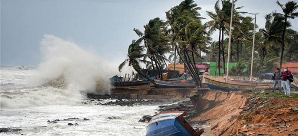
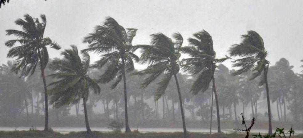
Monsoon will return soon in many states including MP, UP, Bihar, there will be heavy rain

know the weather forecast,

During the next 24 hours, there will be heavy rain on the northern coast of Maharashtra including Mumbai. Heavy rain will continue in the southern districts of Gujarat. There is a possibility of flood due to heavy rain in North Bihar and North Eastern Uttar Pradesh including Nepal. Monsoon can now start bidding farewell to some areas of Punjab, Haryana, Rajasthan and Gujarat after 2 days. Rain activities will continue in Bihar, Jharkhand, West Bengal, Odisha and North Eastern districts but the intensity will decrease. The weather of Delhi, Punjab, Haryana including Rajasthan and Western Uttar Pradesh is likely to remain dry.

Source: Skymet Weather

For information related to weather forecasts, do visit Gramophone app daily. If you liked today’s information, then do share it.

Share

Heavy rains expected in the next 24 hours, see weather forecast

know the weather forecast,

During the last 24 hours, heavy to very heavy rains in Mumbai and its surrounding areas have disrupted life. Schools, colleges and all other institutions have been closed. Air flights have been cancelled. Heavy rains may occur in Mumbai during the next 24 hours as well. Heavy to very heavy rains may also cause floods in South Gujarat. Heavy rains may cause waterlogging in northern districts of Bihar including Nepal. Heavy rains are also possible in the north-eastern districts of Uttar Pradesh. Many districts of Jharkhand, West Bengal, Odisha, Madhya Pradesh, Telangana, and Maharashtra may also see good rains. There will be light rains in Delhi, Haryana and Punjab. Heavy rains may occur in the mountains during the next 24 hours.

Source: Skymet Weather

For information on weather forecasts, do visit the Gramophone app daily. If you liked today’s information, then do share it.

Share

Clouds will rain in many states before leaving, see the weather forecast of your area

know the weather forecast,

The last week of monsoon has now started but a new low pressure is going to give heavy rains in many states. Mumbai and its surrounding areas may receive torrential rains during the next two days. Heavy rains are expected in many districts of Andhra Pradesh, Telangana, Maharashtra, Madhya Pradesh, and Gujarat. Due to heavy rains especially in South Gujarat, there is a possibility of waterlogging and flooding in many places. There will be good rains in East Uttar Pradesh including West Bengal, Bihar, Jharkhand and Odisha. From this evening, light rains may start in some parts of Haryana including Delhi, which will gradually cover many districts of Punjab as well. Light to moderate rains are also expected in Himachal and Uttarakhand. Rains will start in East Rajasthan after 24 hours.

Source: Skymet Weather

For information on weather forecasts, do visit the Gramophone app daily. If you liked today’s information, then do share it.

Share

Heavy rains will occur in MP, Gujarat, Telangana, Bihar and Andhra Pradesh

know the weather forecast,

A low pressure area has formed over the Bay of Bengal. This low pressure area will soon become stronger. Today its effect will be seen in the form of heavy rains over West Bengal, Bihar, Odisha, Chhattisgarh, East Madhya Pradesh, Telangana, Andhra Pradesh, Maharashtra, South Gujarat and Mumbai. After 24 hours, rain activities will also start increasing in Uttar Pradesh and Uttarakhand. There is also a possibility of light rain in Delhi, Haryana and Punjab, which may intensify on 27 and 28 September. Rajasthan will have to wait for two days for rain. Many districts of eastern Rajasthan can also see rain from 27 September.

Source: Skymet Weather

For information on weather forecasts, do visit the Gramophone app daily. If you liked today’s information, then do share it.

Share

Chances of rain from Kashmir to Kanyakumari, see weather forecast

know the weather forecast,

The normal date of departure of monsoon is 27 September but this time the monsoon will depart with a delay of 6 days. A low pressure area has formed in the Bay of Bengal, which can gradually move westwards and strengthen and become a depression. This will be the fifth consecutive depression of this season. Today, many districts of Gangetic West Bengal, Odisha, Maharashtra, Madhya Pradesh, Telangana, Karnataka and Chhattisgarh will see good rain. When this depression reaches around Maharashtra and southern Madhya Pradesh, then around September 25 and 26, there will be rain in western Uttar Pradesh, Himachal Pradesh, Uttarakhand, Delhi, southern Haryana and south-eastern Rajasthan. Rain activities will also start after 24 hours in northeastern states including Bihar and Jharkhand. Light rain is expected in Ladakh and Jammu and Kashmir. Tamil Nadu and Kerala will see light rain. There may be good rain in Andhra Pradesh.

Source: Skymet Weather

For weather forecast information, visit Gramophone app daily. If you liked today’s information, please share it.

Share

New low pressure from Bay of Bengal will cause heavy rains, monsoon will depart soon

know the weather forecast,

An area of ​​anti-cyclonic winds has started forming in the central parts of Pakistan. Due to its effect, dry winds will start blowing from the northwest direction and monsoon will depart from some areas of western Rajasthan and Kutch. But after that the monsoon will stop for some time. The area of ​​cyclonic winds formed in the Bay of Bengal will create a low pressure which will strengthen as a depression while moving in the west direction. Due to its effect, Telangana, Andhra Pradesh, North Karnataka, Maharashtra, South Madhya Pradesh and Chhattisgarh will receive good rainfall. Two days later, Bihar, Jharkhand, Gangetic West Bengal and Uttar Pradesh will also receive rain. Around 25 and 26 September, Delhi, East Rajasthan and East Gujarat will also receive rain.

Source: Skymet Weather

For information on weather forecasts, do visit the Gramophone app daily. If you liked today’s information, do share it.

Share

The low pressure of Bay of Bengal will now become depression, there will be rain in many states

know the weather forecast,

The low pressure formed in the Bay of Bengal can become depression by moving further in the west direction. Today its effect will be visible on Telangana, Maharashtra and northern Andhra Pradesh along with southern Chhattisgarh. Rain will also start in Madhya Pradesh during the next 24 hours. By 25 and 26, rain activities can also reach Delhi, Haryana, Rajasthan and Gujarat. Due to the effect of this depression, once again south-eastern winds will blow in Rajasthan including North India, which will not allow the monsoon to return. Dry weather will prevail over Delhi, Punjab, Haryana, Uttar Pradesh, Bihar, West Bengal, West Rajasthan and Gujarat including Tamil Nadu and Kerala.

Source: Skymet Weather

For weather forecast information, do visit Gramophone app daily. If you liked today’s information, do share it.

Share

It will rain in many states of South India including Madhya Pradesh, Maharashtra

know the weather forecast,

Now a cyclonic wind area has formed in the Bay of Bengal which can strengthen into low pressure and gradually become a depression. This will be the fifth depression of this season which is usually seen very rarely. There will be rain in many districts of southern Odisha, north coastal Andhra Pradesh, southern Chhattisgarh, Maharashtra and Madhya Pradesh. Along with Telangana, many districts of Andhra Pradesh and Karnataka will also see good rain. By the end of the week, rain activities will also reach south-eastern Rajasthan and eastern Gujarat. For now, the weather will remain dry in the hills, Punjab, Haryana, Delhi, Uttar Pradesh, Bihar, West Bengal and western districts of Rajasthan including Saurashtra and Kutch.

Source: Skymet Weather

For information on weather forecasts, do visit the Gramophone app daily. If you liked today’s information, do share it.

Share

Red alert issued for heavy rain, see the weather forecast of your area

know the weather forecast,

The depression has now reached over northern Madhya Pradesh. It will now turn in the northeast direction and will give heavy rains in south-western Uttar Pradesh, Delhi, some districts of Haryana, Uttarakhand and Himachal Pradesh. There is also a possibility of heavy rains in the northern districts of Madhya Pradesh. The weather of Punjab, West Haryana, Western Rajasthan, and Saurashtra and Kutch will remain almost dry. Along with Maharashtra, now a huge decrease in monsoon activities will be seen in interior Karnataka, Telangana, southern Andhra Pradesh and Tamil Nadu.

Source: Skymet Weather

For information related to weather forecasts, do visit the Gramophone app daily. If you liked today’s information, then do share it.

Share

Heavy rain will occur in Uttar Pradesh, Madhya Pradesh, Rajasthan and Delhi

know the weather forecast,

The depression is now located over Madhya Pradesh, its effect is fully visible over Madhya Pradesh and heavy rain is occurring in many districts. Now rain activities will start and increase in Delhi, South Haryana and East Rajasthan including Uttar Pradesh and heavy rain is expected here during the next two days. A new low pressure area will form in the Bay of Bengal within two days which will increase rain activities over Gangetic West Bengal and then its effect will be seen over Madhya Pradesh including Jharkhand, Odisha, Chhattisgarh. The weather of Saurashtra and Kutch as well as Western Rajasthan, Western Haryana and Western Punjab will remain almost dry.

Source: Skymet Weather

For information related to weather forecasts, do visit Gramophone App daily. If you liked today’s information, then do share it.

Share