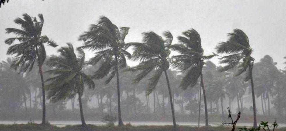
Winter is expected to intensify in North India, with snowfall forecasted for the 24th and 25th of October

know the weather forecast,

A low-pressure area will form in the Arabian Sea, which will likely develop into a depression and move away from the Indian coast, possibly towards Oman and Yemen. A cyclonic system has also formed in the Andaman Sea, which will intensify into a low-pressure area. As it moves northwest, it could strengthen into a depression and potentially become a storm, heading towards the coast of Odisha. Rainfall activity will continue in South Gujarat, Maharashtra, and the Southern Peninsula. Snowfall is expected in the mountains on the 24th and 25th of October, leading to colder conditions in North India.

Source: Skymet Weather

For regular weather updates, visit the Gramophone app. Don’t forget to share this article with your friends by clicking the share button below.

Share

New low pressure area formed in Bay of Bengal, snowfall possible in mountains from October 24

know the weather forecast,

The depression that had formed in the Bay of Bengal has made landfall north of Chennai around the coast of southern Andhra Pradesh and northern Tamil Nadu. Now it has weakened but it is expected to reach the Arabian Sea once again. There it can strengthen again. A cyclonic wind area has formed in the Bay of Bengal, due to its effect low pressure will be formed which will strengthen and become a depression. It will move in the northwest direction towards the coast of Andhra Pradesh or Odisha. It is difficult to say anything about whether it will become a storm in future or not. Around October 24, the first good western disturbance of this season may come in the mountains, due to which there is a possibility of good snowfall in the mountains. If there is good snowfall, then winter may come in North India before Diwali.

Source: Skymet Weather

For weather forecast updates, visit Gramophone App daily. Share this article with your friends by clicking on the share button below.

Share

Cold wave knocks in many states, heavy rain alert in South India

know the weather forecast,

The southwest monsoon has withdrawn from the entire North West India. Along with this, the cold is being felt in Delhi and UP. According to the latest information given by the Meteorological Department, monsoon has withdrawn from Assam, Meghalaya, Arunachal Pradesh, Mizoram, Tripura and North Bay of Bengal.

Source: Kisan Tak

For information on weather forecasts, do visit the Gramophone app daily. Share this article with your friends by clicking the share button given below.

Share

Heavy rains and floods expected in many states, see weather forecast

know the weather forecast,

Over Southwest Bay of Bengal A deep low pressure area has formed which will soon become a depression. Due to its effect, heavy to very heavy rainfall activity is continuing in many districts of Tamil Nadu including South Coastal Andhra Pradesh. More than 100 mm of rain has been recorded in many areas of Chennai. Waterlogging has been done in many places. Road, air and rail traffic is likely to be affected, life is also likely to be disrupted. In the next few days, there is a possibility of heavy rains in southern Karnataka, southern Andhra Pradesh, Tamil Nadu and northern districts of Kerala. Torrential rains will continue for the next two days. Monsoon will soon bid farewell to the rest of the country and the Northeast Monsoon will also arrive.

Source: Skymet Weather

For weather forecast updates, visit Gramophone App daily. Share this article with your friends by clicking on the share button below.

Share

Chances of rain in Rajasthan, Madhya Pradesh, Gujarat, see weather forecast

know the weather forecast,

The deep low pressure area formed over the Arabian Sea has now moved towards Yemen. Now there is no risk of any rain to India due to this. There is no danger. The low pressure formed over the southwest Bay of Bengal has deepened and will soon become a depression. Due to its effect, heavy rains have been recorded in Andhra Pradesh, Tamil Nadu and southern Karnataka. Heavy rain activities are expected in all these states- Along with this, it will be visible up to Kerala and Goa which may continue for the next two days. Morning and night temperatures are falling in North India but it may take some more time for the day temperature to fall. Weather in eastern India It will be almost clear but light to moderate rains may continue over Northeast India.

Source: Skymet Weather

For weather forecast updates, visit Gramophone App daily. Share this article with your friends by clicking on the share button below Share it with us as well.

Share

Chances of rain in many states including Madhya Pradesh, storm in Arabian Sea

know the weather forecast,

Depression has formed in the Arabian Sea, it will move away from the coast of India in the northwest direction and it may also become a storm for some time. A low pressure area is going to form near the southwest Bay of Bengal. This low pressure will move north along the coast of Tamil Nadu and will strengthen into a depression. Around October 15, it will cross the coast of Andhra Pradesh and move eastward and will once again reach the Arabian Sea by October 18. Heavy rain is expected in many districts of Madhya Pradesh, Maharashtra and South Gujarat during the next two days. Heavy rain is also expected in Tamil Nadu, Kerala and Karnataka including coastal districts of Andhra Pradesh. The monsoon has moved away from northern Chhattisgarh including half of Bihar and some areas of Jharkhand, crossing Uttar Pradesh. The weather of Punjab, Haryana, Delhi, Rajasthan, Uttar Pradesh, Bihar and Jharkhand including the mountains will remain almost dry. Light rain may occur in south-eastern Rajasthan.

Source: Skymet Weather

For information on weather forecasts, visit Gramophone app daily. Share this article with your friends by clicking the share button below.

Share

There is a possibility of torrential rain in western and eastern states, see weather forecast

know the weather forecast,

At this time, there is a stir in the sea located to the east and west of India i.e. Arabian Sea and Bay of Bengal. A deep low pressure area has formed in the Arabian Sea which will soon become a depression. Due to its effect, heavy rains can now occur in many parts of Gujarat, Maharashtra and Karnataka. A cyclonic wind area has also formed in the Bay of Bengal, which will later turn into a low pressure area and will go along the coast of Tamil Nadu to Andhra Pradesh. Due to its effect, heavy rains can occur in Andhra Pradesh, Telangana and Tamil Nadu. Around October 12, a new cyclonic wind area will form in the central west Bay of Bengal. So we can say that one after the other low pressure will form in the Arabian Sea and Bay of Bengal. Monsoon may soon leave some more states. The weather of northwest and central India including the mountains will remain almost dry.

Source: Skymet Weather

For weather forecast updates, visit Gramophone App daily. Share this article with your friends by clicking on the share button below.

Share

Chances of cyclone formation in Arabian Sea increased, its effect will be seen on many states

know the weather forecast,

A low pressure area is going to form in Arabian Sea which will gradually become a depression and now it is quite likely that it can also become a cyclone. If it forms a cyclone, it will be named DANA which has been given by Qatar. Monsoon will soon bid farewell to many other places. Heavy rains are likely in many areas of Karnataka including South Gujarat and Maharashtra. There is a possibility of light to moderate rain in the eastern and northeastern states as well. The weather of central India and mountains including North India will remain dry.

Source: Skymet Weather

For information on weather forecasts, do visit the Gramophone app daily. Share this article with your friends by clicking the share button given below.

Share

Know why there is a possibility of severe cold this year, see the weather forecast

know the weather forecast,

Through this video, know when Western Disturbances come, why they come and what is their effect. Snowfall in the mountains occurs due to the effect of Western Disturbance, winter rains in North India are also caused by Western Disturbance. Information about the forecast of winter this time is also given in the video.

Source: Skymet Weather

For information related to weather forecasts, do visit Gramophone App daily. Share this article with your friends by clicking the share button given below.

Share

A storm may form in the Arabian Sea, know which states will be affected by it

know the weather forecast,

The monsoon has now departed from many states. Soon the monsoon will be completely gone. The first cyclone of the post monsoon season is likely to form in the Arabian Sea. At present, a cyclonic wind area has formed around Lakshadweep, which can turn into a low pressure area during the next two days. This low pressure area will remain in the central Arabian Sea during the next two-three days and after that it can strengthen and move in the northwest direction. If it forms a storm, it will be named DANA. This name has been given by Qatar. Good rain will continue in South India including Tamil Nadu during the next few days. There is also a possibility of good rain in the northeastern states. There may be showers or thunderstorms in southern Punjab and northwestern Rajasthan.

Source: Skymet Weather

For information on weather forecasts, do visit the Gramophone app daily. Share this article with your friends by clicking the share button given below.

Share