Chances of rain in most areas of the country, see weather forecast

know the weather forecast,

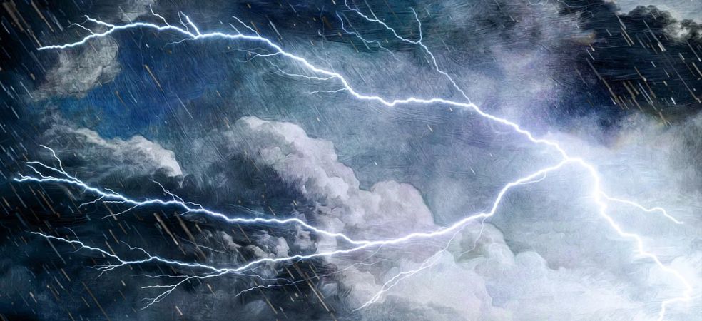
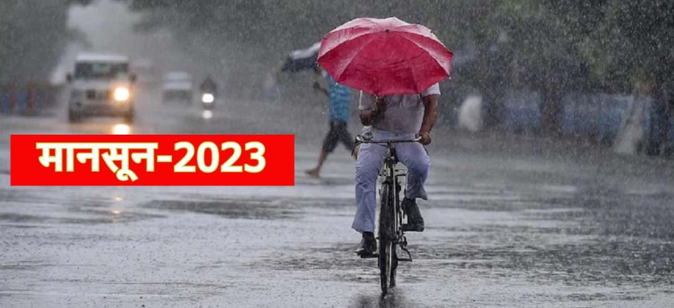
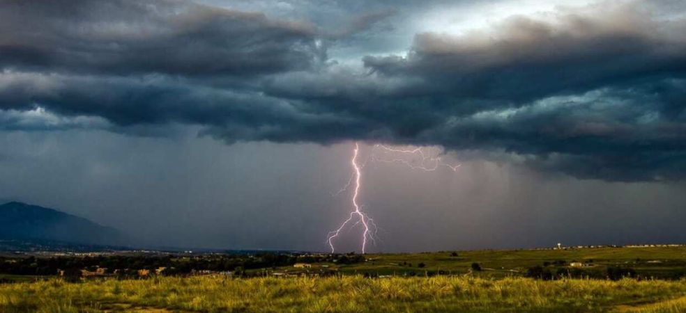
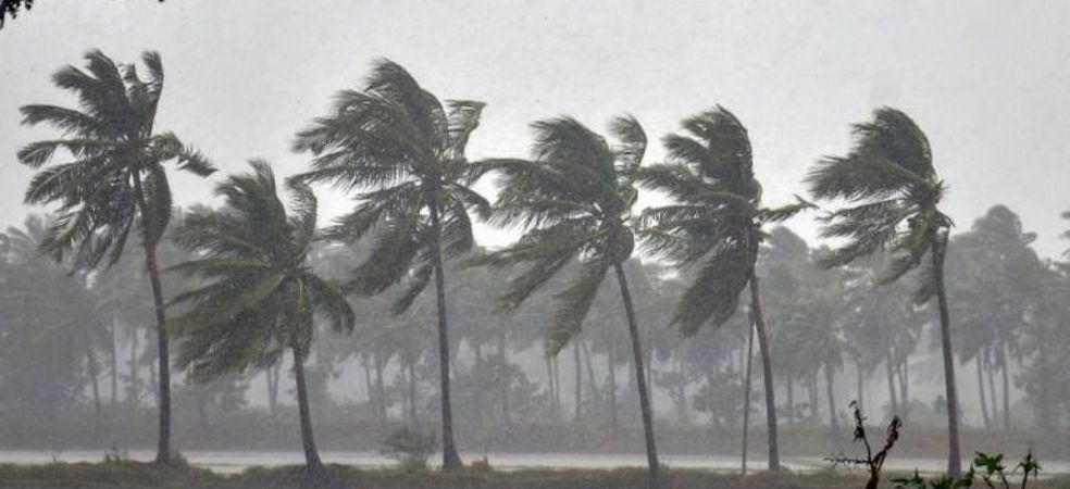
During the last 24 hours, rain activities have been observed in many districts of Madhya Pradesh along with strong winds. Now it will start with rain and snowfall in the mountains and after 24 hours rain and thunderstorms may start in many districts of Uttar Pradesh including Rajasthan, Punjab, Haryana, and Delhi. Heavy rain activities will start over West Bengal and Bihar as well as Northeast states. Rain may also occur in some parts of Jharkhand and Chhattisgarh.

Source: Skymet Weather

Do visit the Gramophone app daily for weather forecast information. If you liked today’s information, then do like and share.

Share

Heavy rain, thunderstorm and hail alert in many states

know the weather forecast,

Hurricane Mawar in the western Pacific Ocean will move towards Guam. Its effect will be visible in the monsoon winds of India. Cyclone Fabin in the Indian Ocean will weaken in the next 3 days. Dust storms will occur over North and Northwest India on the 22nd and 23rd of May and from the 24th of May heavy rains may start over East India including the entire Gangetic plains, Northeast India, Rajasthan, Madhya Pradesh and Delhi. There will be rain and snow in the mountains. Rain activities will also increase in South India.

Source: Skymet Weather

Do visit the Gramophone app daily for weather-related forecast information. If you liked today’s information, then do like and share.

Share

Chances of hailstorms with thunderstorms in many states including Madhya Pradesh

know the weather forecast,

The outbreak of severe heat will continue in East India including the plains of North India for 2 days. From May 23, there will be light thunderstorms and thunder in North India. Starting from 24th May, Bihar, West Bengal and northeastern states with lightning, thunder and hailstorm may occur over Bihar, West Bengal and northeastern states starting from May 24. It will rain in Madhya Pradesh including northern parts of Rajasthan, rain and strong winds are possible in South India.

Source: Skymet Weather

Do visit the Gramophone app daily for weather-related forecast information. If you liked today’s information, then do like and share.

Share

Hail will fall with heavy rain in most states, see weather forecast

know the weather forecast,

A storm has formed in the Indian Ocean, now it is on the verge of becoming a storm in the Western Pacific Ocean as well. What will be the effect of these two sea storms on the monsoon of India. The activities of thunderstorms and rain in North India will be very less for the next two days, but from May 22, the rain will once again occur in Punjab, Haryana, Delhi, Rajasthan, Madhya Pradesh, Uttar Pradesh, Bihar, Jharkhand, West Bengal, Orissa including northeastern states. Will start Rain activities will increase in South India from May 22. We can say that half of India will once again witness pre-monsoon rains. Dust storms accompanied by rain and hail may occur over North India. There will be snow in the mountains once again at the end of May.

Source: Skymet Weather

Do visit the Gramophone app daily for weather-related forecast information. If you liked today’s information, then do like and share.

Share

Chances of thunderstorms, rain and hailstorm, see weather forecast

know the weather forecast,

Heavy hail accompanied by strong wind lashed the Sriganganagar and Hanumangarh districts of Rajasthan. Light rain with thunderstorms was seen in Delhi. Now during the next few days, there may be thunderstorms in Punjab, Haryana, Rajasthan, West Uttar Pradesh and Delhi. There is a possibility of rain, thunderstorm and hail from Punjab to Bihar from May 22 or 23. Monsoon may soon knock over Andaman and Nicobar Islands. There is still some delay in the arrival of monsoon over Kerala.

Source: Skymet Weather

Do visit the Gramophone app daily for weather forecast information. If you liked today’s information, then do like and share.

Share

Monsoon will knock late this time, know what are the reasons for this

know the weather forecast,

To declare the arrival of monsoon in Kerala, certain criteria have to be fulfilled such as 2.5 mm of rain for two consecutive days in at least 10 cities out of the list of 14 cities released by the Meteorological Department. Along with this, some other things are also important which are explained in the video. This time the reason for the delay in monsoon is the anti-cyclonic wind area formed in the Arabian Sea and a severe storm formed in the Indian Ocean.

Source: Skymet Weather

Do visit the Gramophone app daily for weather forecast information. If you liked today’s information, then do like and share.

Share

Rain and dust storm alert issued, see weather forecast

know the weather forecast

An anti-cyclonic circulation has formed in the Arabian Sea and a severe storm has formed in the Indian Ocean. Due to the effect of both these, the monsoon winds can delay coming towards India. Monsoon will make a late arrival in Kerala and the scorching heat may continue in June. Scattered light rain and dust storms are very likely over Bihar including Punjab, Haryana, Rajasthan, Delhi and Uttar Pradesh during the next few days. Severe heat wave conditions will continue over South India including South Rajasthan, Gujarat, Madhya Pradesh and Maharashtra.

Source: Skymet Weather

Do visit the Gramophone app daily for weather forecast information. If you liked today’s information, then do like and share.

Share

Rain and dust storms will continue, see the weather forecast

know the weather forecast,

From the month of June itself, the effect of El Nino will be visible, which will become more effective by the end of July. Due to the effect of El Nino, the monsoon may become weak and the rains may decrease. But many models are showing positive IOD Indian Ocean Dipole during monsoon. If the Indian Ocean Dipole is more positive, it can negate the effect of El Nino. Dust storm accompanied by light rain is very likely over Rajasthan, Haryana, West Uttar Pradesh and adjoining areas of Delhi during the next two-three days.

Source: Skymet Weather

Do visit the Gramophone app daily for weather-related forecast information. If you liked today’s information, then do like and share.

Share

Heavy rain and dust storm alert, see the weather forecast

know the weather forecast,

The cyclone is now likely to weaken completely after hitting the coast. But during the next 24 hours, heavy rains are likely over East Arunachal Pradesh including Manipur, Mizoram and Nagaland. Light to moderate rains will occur over the remaining North Eastern states, rain activities will also start over East Bihar and West Bengal. There is a possibility of light showers and dust storms with thunder and lightning in Haryana, Delhi, West Uttar Pradesh, Rajasthan and North Madhya Pradesh. South India will remain dry and warm but Coastal Karnataka and Kerala may receive rain. The weather in Chhattisgarh including South Rajasthan, Gujarat and Maharashtra will remain warm and dry.

Source: Skymet Weather

Do visit the Gramophone app daily for weather forecast information. If you liked today’s information, then do like and share.

Share

Heavy thunderstorms and rain are likely from the Mocha storm

know the weather forecast,

Cyclone Mocha will hit the coast of northern Myanmar on the afternoon of May 14. The wind speed can be 120 to 130 km per hour and there is a possibility of heavy rain. Now the northeastern states of India like Manipur, Mizoram, Tripura, Assam and Arunachal Pradesh will receive heavy rains. A new Western Disturbance will give rain and snow over the mountains and there may be thunderstorms in Punjab, Haryana, and Rajasthan including Uttar Pradesh and Delhi in North India.

Source: Skymet Weather

Do visit the Gramophone app daily for weather forecast information. If you liked today’s information, then do like and share.

Share