Farmers of 18 districts of Madhya Pradesh are getting worried due to the monsoon’s Uncertainty

Farmers of 18 districts of Madhya Pradesh are getting worried due to the monsoon's Uncertainty

In Madhya Pradesh, the monsoon was knocked on time, but for the last few days, monsoon is being Uncertain in many districts of the state. Due to this, lakhs of farmers of the state are upset. Farmers say that if the monsoon does not get good rain in the coming week, then they will suffer heavy losses. On behalf of the meteorological department based in Bhopal, it has been reported that “Gwalior-Chambal, Bundelkhand, and Mahakaushal areas have received less rainfall. Guna has received less than 7%, Gwalior minus 45%.

Districts like Madhya Pradesh’s Gwalior, Bhind, Datia, Guna, Shivpuri, Chhatarpur, Damoh, Sagar, Tikamgarh, Balaghat, Jabalpur, Narsinghpur, Katni, Dhar, Mandsaur, Shajapur and Hoshangabad have received very less rainfall. In the month of July last year, 643.1 mm of rainfall was recorded in Madhya Pradesh, while 318.6 mm of rain has been recorded since June 1 this year.

Source: Live Hindustan

Share

Meteorological Department alert in 20 states, heavy rain may occur, know weather forecast

Take precautions related to agriculture during the weather changes

Gradually, the monsoon is becoming active in the entire country. Heavy monsoon rains have started in Mumbai and Gujarat, while there is a possibility of rain in many states of Central and North India. According to the Meteorological Department, in the coming 24 hours, more than 20 states across the country may receive heavy rains.

In the next 24 hours, torrential rains may continue over Konkan and Goa including Mumbai. If we talk about Punjab, Haryana, West Uttar Pradesh, and West Rajasthan, then the weather will remain dry there.

Presently, the axis of monsoon is passing through Bikaner, Ajmer, Guna, Satna, Daltonganj, and Malda. Apart from this, a cyclonic circulation is also active over eastern Uttar Pradesh. A trough is extending from this system up to Vidarbha via East Madhya Pradesh.

There will be torrential rains in Konkan and Goa including Mumbai in the next 24 hours. Apart from this, light to moderate rains with few heavy to very heavy rain over parts of coastal Karnataka, Kerala, Andaman, and Nicobar Islands, Assam, Meghalaya, Manipur, Nagaland, northern parts of Bihar, south-western Madhya Pradesh, parts of southeastern Rajasthan might be possible.

Source: Krishi Jagran

Share

Seeing the monsoon active in the entire MP, smiles on the faces of farmers scattered

Take precautions related to agriculture during the weather changes

After knocking on the scheduled time, the monsoon has gradually become active throughout Madhya Pradesh. Seeing the activation of monsoon, the smile on the face of the farmers has also shattered. The monsoon rains are like a gift, especially for the paddy farmers.

Apart from this, farmers who cultivate maize are also happy with the monsoon rains. However, this rain can also cause pest infestation in crops like soybean and cotton, for which farmers should take preventive measures in advance.

If we talk about the weather forecast of Madhya Pradesh during the next 24 hours, light to moderate rain is expected in some parts of the state. Earlier, good monsoon rains have been witnessed in the areas of Jabalpur, Bhopal.

Source: Nai Dunia

Share

Monsoon rains are heavy in MP, it will continue to rain for the next 24 hours

Monsoon rains are heavy in MP, it will continue to rain for the next 24 hours

It has been raining in many areas of Madhya Pradesh since Friday morning. Farmers of the state are also happy with the timely arrival of monsoon and getting heavy rain. It is raining heavily in the capital Bhopal in the month of June itself. The situation is that on Wednesday, Thursday, and Friday, the rain quota of June has almost doubled from 13.08 cm to 24.68 cm.

According to meteorologists, till now in the month of June, till Friday night, 32.25 cm of rain has been received. This is 27.65 cm more than the normal rainfall so far. According to the weather center, heavy rains are expected in many cities of Bhopal, Hoshangabad, Jabalpur and Rewa divisions on Saturday as well. From June 20 to 22, there will be chances of rain in eastern Madhya Pradesh, Bhopal, and Hoshangabad divisions.

Source: Bhaskar

Share

After monsoon entry in MP, Meteorological Department warns of heavy rain in 17 districts

Take precautions related to agriculture during the weather changes

In Madhya Pradesh, the monsoon has knocked on its due time and due to this, there is a period of rain and storm in many districts of the state. With the arrival of the monsoon, rains started in 22 districts of the state including the capital Bhopal on Monday.

According to the Meteorological Department, the monsoon has reached most of the districts of Hoshangabad, Indore, Shahdol, and Jabalpur divisions. Apart from this, the monsoon has also made its presence in some districts of Ujjain division. Along with this, warnings of heavy rains have also been issued in 17 districts during the 24 hours coming from the Meteorological Department. These districts include Anuppur, Barwani, Betul, Chhindwara, Dhar, Dindori, Hoshangabad, Harda, Jhabua, Khargone, Narsinghpur, Rewa, Seoni, Shahdol, Sidhi, Singrauli, Umaria.

The monsoon is expected to move towards eastern Madhya Pradesh during the next 48 hours. The northern limit of monsoon is passing through Kandla Ahmadabad, Indore, Narsinghpur, Umaria, and Ballia.

Source: Nai Dunia

Share

There may be Rain in the next two days from Pre Monsoon, Monsoon will come on time

There may be Rain in the next two days from Pre Monsoon, Monsoon will come on time

The Monsoon will knock in Kerala from its scheduled time of June 2 to 9 and then make it rain in different parts of the country. Meanwhile, the head of Indian Meteorological Department, Mrityunjay Mohapatra has said that there is a possibility of widespread rains in India for the next few days under the pre-monsoon before the onset of monsoon.

The effect of the pre-monsoon has been seen since the night of 29 May and there is a possibility that due to this, some states may receive heavy rains by 31 May. Madhya Pradesh, Western Himalayas, Jammu and Kashmir, Ladakh, Himachal Pradesh and Uttarakhand are likely to be affected by these pre-monsoon rains. Apart from this, there is a possibility of rain in West Bengal, Odisha, Karnataka, Punjab, Haryana, Chandigarh and Delhi.

In the coming 24 hours, especially in North Punjab, Haryana, West Uttar Pradesh and some areas of Delhi, a dust storm or thunderstorm accompanied by light rain is expected. During the next 24 hours, rain activities are possible in many parts of Bihar and eastern parts of Jharkhand in West Bengal. Light rain is expected at some places in Uttar Pradesh and Odisha.

Source: Nai Dunia

Share

Rain and short hail may occur from May 11 to 13: Meteorological Department

Take precautions related to agriculture during the weather changes

Last month, farmers suffered due to rain and hail in many states of the country. Now the Indian Meteorological Department has predicted rain and short hail again for the next two to three days.

Since yesterday, many areas of the country have been cloudy and there has been rain along with storms due to which the temperature has also seen a drop. Now the Indian Meteorological Department has issued an alert in this episode, warning that the weather may remain bad in the coming days.

According to the Indian Meteorological Department, winds can reach 30 to 40 kilometers per hour in the coming days. In addition, the activation of the Western Disturbance and its north-easterly movement, coupled with the easterly winds in the plains, indicates a change in weather. Due to this, rain and short hail may occur in most areas of Madhya Pradesh, Rajasthan, Bihar, Uttar Pradesh, Jharkhand and Chhattisgarh from 11 to 13 May.

Source: Kisan Samadhan

Share

Indian Meteorological Department alert: hail may fall in these states with heavy rains

Indian Meteorological Department alert hail may fall in these states with heavy rains

Recently, farmers suffered due to rain and hail in many states of the country. Now the Indian Meteorological Department has predicted heavy to very heavy rain for the coming days.

It is worth noting that in the last few days, many areas have been cloudy and there has been raining, due to which the temperature has also seen a drop. Now the Indian Meteorological Department has issued an alert in this episode, warning that the weather may remain bad in the next few days.

The meteorological department has issued a five-day weather-related bulletin in this regard and stated that the area around the Ganges River in West Bengal, Arunachal Pradesh, Nagaland, Manipur, Mizoram-Tripura, Assam-Meghalaya, Kerala-Mahe and in different areas of Karnataka There may be heavy rainfall.

Along with this, the Meteorological Department has predicted winds at a speed of 40-50 km per hour, lightning and hailstorm in Bihar, Assam, Meghalaya, Uttarakhand, Uttar Pradesh, Chhattisgarh, Madhya Maharashtra, Marathwada. Apart from this, the Meteorological Department has issued an alert for bad weather in Jammu and Kashmir, Ladakh, Gilgit-Baltistan, Muzaffarabad, Madhya Pradesh, Vidarbha, Konkan, and Goa.

Source: Jagran

Share

It’s very important to keep pace with the changing weather

Due to the cyclone made in the Bay of Bengal, it is raining in Central India. According to the Meteorological Department, there’s a possibility of heavy rain with hail in many areas of the country. Light to moderate rains is expected in the eastern and central parts of Madhya Pradesh and North Chhattisgarh in the next 24 hours. Along with this, some areas in Sikkim, West Bengal and southern coastal Tamil Nadu could also witness scattered rains.

In view of the recent changes in the weather, farmers should take the following precautions-

  • Maintain the drainage system properly in the field so that the water won’t stop for long in the field.
  • During harvesting, do not keep the crops in an open area. Instead, keep it in a splash, room, warehouse or any place where rainwater can’t come.
  • Once the sky gets clear, spread the gram, lentil, wheat etc. on a tirpal or plastic sheets and dry it thoroughly for 2 to 3 days so that the moisture content in the grains comes below 12%. Then store it properly.
  • To protect the seeds from insects and fungus, clean the stalks, soil, leaves and weeds from the seeds and dry it thoroughly for 2-3 days in strong sunlight, and store them only when there’s just 8-10% moisture left in the seeds.
  • Seed treatment with fungicide is necessary before storage, which can lead to cheap and effective control of the seed-borne disease. For this purpose, the seeds should be treated with  3 grams of thyram or captian or 2 grams of carboxin for each kilogram of seed.
  • Given the change in weather, many diseases and pests can attack crops because this environment is suitable for them.
  • Vegetables of Summer pumpkin group are prone to the attack of red beetle insect. If the number of these insects is high, spray Dichlorovos 76 EC @ 1 gram per litre of water.
  • To control juice sucker insects like whitefly, aphid, jassids etc. in okra, spray dimethoate 30 EC @ 1-1.5 ml per liter of water.
  • There is a high possibility of Thrips in Onion crop so spray Profenophos 50 EC @ 45 ml or Lambda cyhalothrin 4.9% CS @ 20 ml or Spinosed @ 10 ml or Fipronil 5 SC @ 15 liters water per acre.
  • Use 0.5 ml mixture with insecticide in 15 liters of water, so that the insecticide is absorbed by the plants properly.
  • Deep ploughing should be done in such time. deep ploughing leads to smooth movement of air in the soil, thereby increasing the water holding capacity in the soil and destroying harmful insect and fungal spores.
Share

पाला, उससे होने वाली हानि एवं बचाव

डॉ. शंकर लाल गोलाडा

कैसै करें पाले और शीत लहर से फसलों का बचाव

पाले के प्रभाव से पौधों की पत्तियां एवं फूल झुलसे हुए दिखाई देते है। एवं बाद में झड़ जाते हैं। यहां तक कि अधपके फल सिकुड़ जाते है। उनमें झाुर्रियां पड़ जाती हैं एवं कलिया गिर जाते है। फलियों एवं बालियों में दाने नहीं बनते हैं एवं बन रहे दाने सिकुड़ जाते है। दाने कम भार के एवं पतले हो जाते है रबी फसलों में फूल आने एवं बालियां/ फलियां आने व उनके विकसित होते समय पाला पडऩे की सर्वाधिक संभावनाएं रहती है। अत: इस समय कृषकों को सतर्क रहकर फसलों की सुरक्षा के उपाय अपनाने चाहिये। पाला पडऩे के लक्षण सर्वप्रथम आक आदि वनस्पतियों पर दिखाई देते है। पाले का पौधों पर प्रभाव शीतकाल में अधिक होता है।

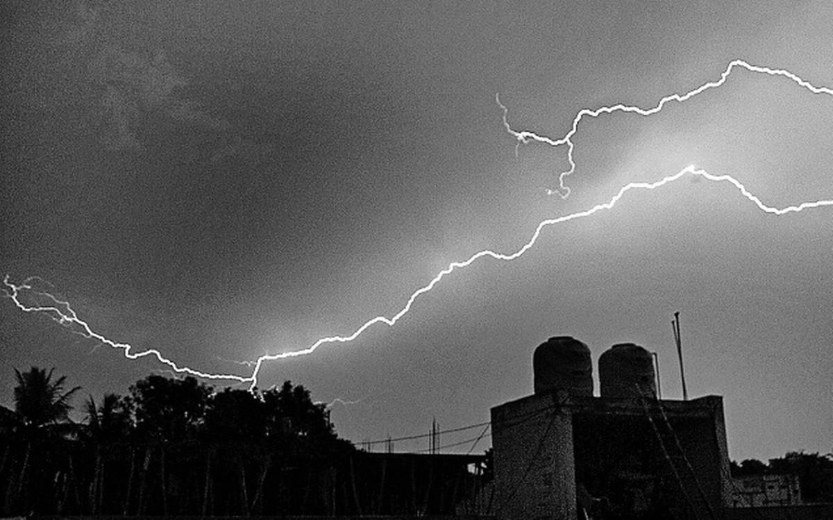
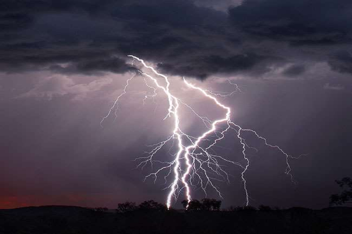
कब गिरेगा पाला : – जब तापमान 0 डिग्री सेल्सियस से नीचे गिर जाता है तथा हवा रूक जाती है, तो रात्रि को पाला पडऩे की संभावना रहती है। वैसे साधारणत: पाला गिरने का अनुमान इनके वातावरण से लगाया जा सकता है। सर्दी के दिनों में जिस रोज दोपहर से पहले ठंडी हवा चलती रहे एवं हवा का तापमान जमाव बिन्दु से नीचे गिर जाये। दोपहर बाद अचानक हवा चलना बन्द हो जाये तथा आसमान साफ रहे, या उस दिन आधी रात से ही हवा रूक जाये, तो पाला पडऩे की संभावना अधिक रहती है। रात को विशेषकर तीसरे एवं चौथे प्रहर में पाला पडऩे की संभावना रहती है। साधारणतया तापमान चाहे कितना ही नीचे चला जाये, यदि शीत लहर हवा के रूप में चलती रहे तो कोई नुकसान नहीं होता है। परन्तु यही इसी बीच हवा चलना रूक जाये तथा आसमान साफ हो तो पाला पड़ता है, जो फसलों के लिए नुकसानदायक है।

शीत लहर एवं पाले से फसल की सुरक्षा के उपाय : –

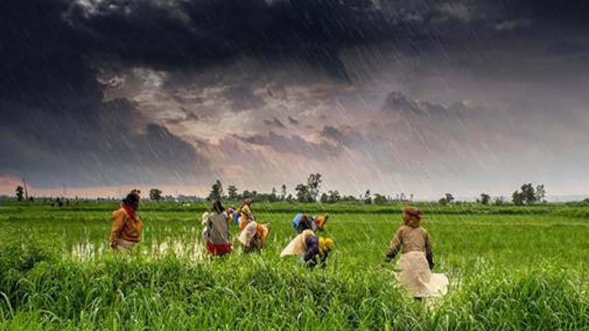
खेतों की सिंचाई जरूरी : – जब भी पाला पडऩे की सम्भावना हो या मौसम पूर्वानुमान विभाग से पाले की चेतावनी दी गई हो तो फसल में हल्की सिंचाई दे देनी चाहिए। जिससे तापमान 0 डिग्री सेल्सियस से नीचे नहीं गिरेगा और फसलों को पाले से होने वाले नुकसान से बचाया जा सकता है सिंचाई करने से 0. 5 – 2 डिग्री सेल्सियस तक तापमान मे बढ़ोतरी हो जाती हैं ।

पौधे को ढकें : – पाले से सबसे अधिक नुकसान नर्सरी में होता है। नर्सरी में पौधों को रात में प्लास्टिक की चादर से ढकने की सलाह दी जाती है। ऐसा करने से प्लास्टिक के अन्दर का तापमान 2.3 डिग्री सेल्सियस बढ़ जाता है। जिससे सतह का तापमान जमाव बिंदु तक नहीं पहुंच पाता और पौधे पाले से बच जाते हैं। पॉलीथीन की जगह पर पुआल का इस्तेमाल भी किया जा सकता है। पौधों को ढकते समय इस बात का ध्यान जरूर रखें कि पौधों का दक्षिण पूर्वी भाग खुला रहे, ताकि पौधों को सुबह व दोपहर को धूप मिलती रहे।

खेत के पास धुंआ करें : – अपनी फसल को पाले से बचाने के लिए आप अपने खेत में धुंआ पैदा कर दें, जिससे तापमान जमाव बिंदु तक नहीं गिर पाता और पाले से होने वाली हानि से बचा जा सकता है।

रासायनिक उपचार : – जिस दिन पाला पडऩे की सम्भवना हों उन दिनों फसलों पर गंधक के तेजाब के 0.1 प्रतिशत घोल का छिड़काव करना चाहिये। इस हेतु एक लीटर गंधक के तेजाब को 1000 लीटर पानी में घोलकर एक हेक्टर क्षेत्र में प्लास्टिक के स्प्रेयर से छिड़कें। ध्यान रखें कि पौधों पर घोल की फुहार अच्छी तरह लगें। छिड़काव का असर दो सप्ताह तक रहता है। यदि इस अवधि के बाद भी शीत लहर व पाले की संभावना बनी रहे तो गंधक के तेजाब को 15 से 15 दिन के अन्तर से दोहराते रहें।

>>>सल्फर 90 % WDG पाउडर को 3 किलोग्राम 1 एकड़ में छिड़काव करने के बाद सिंचाई करें ।

>>> सल्फर 80% WDG पाउडर को 40 ग्राम प्रति पम्प (15 लीटर पानी) में मिलाकर स्प्रे करें ।

दीर्घकालिन उपाय : – फसलों को बचाने के लिये खेत की उत्तरी-पश्चिमी मेड़ों पर तथा बीच-बीच में उचित स्थानों पर वायु अवरोधक पेड़ जैसे शहतूत, शीशम, बबूल, खेजड़ी अरडू एवं जामुन आदि लगा दिये जाये तो पाले और ठण्डी हवा के झोंको से फसल का बचाव हो सकता हैं ।

Source:- https://www.krishakjagat.org

नीचे दिए गए बटन पर क्लिक करके अन्य किसानों के साथ साझा करें।

Share